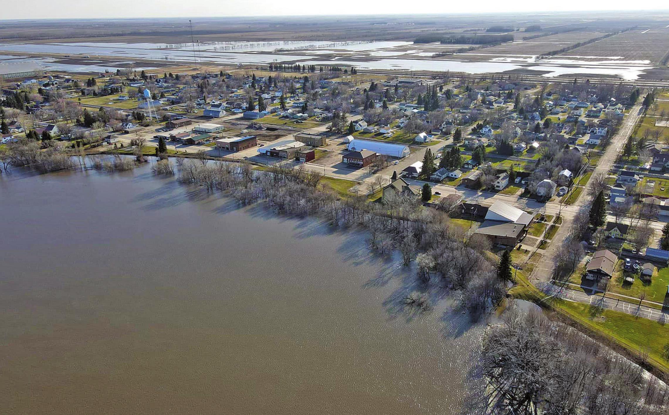
Drone flood picture taken by Travis Uggerud last Wednesday while patrolling the dikes in Drayton shows the town looking slightly like an island just before the river reached its crest last week.
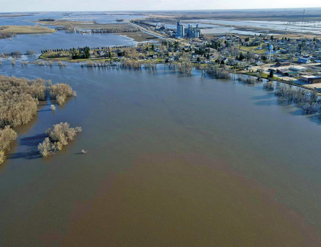
Pictured right: Is that a town in the middle of a lake drone picture by Travis Uggerud. Photos submitted by Travis Uggerud
The Red River crested in Drayton on Thursday reaching 43.17 feet at the highest level according to the National Weather Service. Tuesday morning the river had already dropped by about a foot and is slowly and steadily dropping. The added foot of clay that was added to the temporary dike structure was a precautionary measure and the flood water never reached the top. By having the added height is g…